Greely
Explore Greely’s schools, parks, village services and connections to Ottawa.
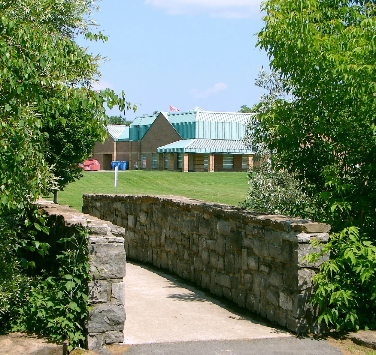
Greely is a rural village in the southern part of the City of Ottawa, Ontario. It was part of Osgoode Township before municipal amalgamation in 2001. The City’s community design work followed substantial village growth and established a framework for land use, roads and greenspace. Daily services include the library and community centre on Meadow Drive, Foodland on Bank Street and a pharmacy on Parkway Road. By car, downtown Ottawa (Parliament Hill) is about 29.2 km away, roughly 29 minutes in free-flowing traffic (OSRM estimate).
Updated · Facts on this page link to their sources
About Greely
Greely is a rural village in the southern part of the City of Ottawa, Ontario. It was part of Osgoode Township before municipal amalgamation in 2001. The City’s community design work followed substantial village growth and established a framework for land use, roads and greenspace. Daily services include the library and community centre on Meadow Drive, Foodland on Bank Street and a pharmacy on Parkway Road.
Boundaries
Definitions vary: a Greely Community Association boundary reported by Wikipedia uses Mitch Owens Road to the north, Manotick Station Road to the west, Snake Island Road to the south, and Sale Barn Road and Grey’s Creek Road to the east. The City’s separate village planning boundary appears in Schedule A of its secondary plan. en.wikipedia.org openstreetmap.org
Homes
The City’s secondary plan identifies detached houses as the predominant form. Other housing, including townhouses in the Shadow Ridge servicing area, is permitted under specific conditions. documents.ottawa.ca
- The Greely Loop links residential areas, parks and wooded areas over 10.7 km.
- Greely’s library offers public Internet access and access to the Ottawa Public Library collection.
- The community centre lists basketball courts, play structures and picnic space among its amenities.
- Greely Village Park is at 7292 Parkway Road.
- Castor Valley offers Early French Immersion to students from Greely and surrounding communities.
- Greely Good Market is a seasonal market at 5770 Bank Street.
Community
How Greely came to be
- 1885
Local historical research prepared for the Greely Community Association records Reuben Bates beginning his service as Greely’s postmaster on June 1, 1885. This documents the post office, rather than establishing a village founding date. paperzz.com
- 1972
Greely Elementary School was built in 1972; its school history records a redesign and renovation in 2003. greelyes.ocdsb.ca
- 1986
Castor Valley Elementary School opened as a French Immersion centre on December 1, 1986. castorvalleyes.ocdsb.ca
- 2001
Osgoode Township, which included Greely, became part of the amalgamated City of Ottawa. osgoodemuseum.ca
- 2004
The City completed the Greely Land Use and Design Study, initiated in 2003; its recommendations became the basis of the Community Design Plan. app06.ottawa.ca
- 2011
Ottawa Public Library’s Greely branch moved to its new home with support from the federal Infrastructure Stimulus Fund. about.biblioottawalibrary.ca
- 2012
Ottawa City Council approved amendments to the Greely Community Design Plan on May 23, 2012. ottawa.ca
Around Greely
Walking rings at 5, 10 and 15 minutes from the neighbourhood centre.
Schools
2 nearbyGreely Elementary School
OCDSBGrades JK-67066 Parkway Road, Greely, ON K4P 1A9greelyes.ocdsb.ca openstreetmap.org
360 m4 min walkSt. Mary School
OCSBGrades JK-65536 Bank Street, Gloucester, ON K1X 1G9ocsb.ca openstreetmap.org
2.1 km27 min walk
Straight-line distances from the Greely centre. Living near a school does not guarantee a place: confirm the designated school for an address with each board. All schools and board locators.
Parks & places
10 nearbyOttawa Public Library - Greely Branch
240 m3 min walkGreely Community Centre
270 m3 min walkAndy Shields Park Ice Rink
330 m4 min walkAndy Shields Park
390 m5 min walkHerb Johnston Park
490 m6 min walkGreely Village Park
710 m9 min walkGreely Indoor Swimming Pool
770 m10 min walkShadow Ridge Park
1.2 km15 min walkThe Greely Loop
1.7 km21 min walkTwin Lakes Park
1.8 km23 min walk
Shops & dining
7 nearbyPharmaChoice
180 m2 min walkGreely Convenience Store
350 m4 min walkFoodland
420 m5 min walkPharmasave
430 m5 min walkDollarama
440 m6 min walkNick's General Store
2.8 kmfrom centreMacEwen
2.8 kmfrom centre
Getting around
TransitOC Transpo route 304
720 m9 min walkLocal bus
OC Transpo’s published route 304 map identifies Thursday-only service linking Greely, Metcalfe and Osgoode with South Keys and Billings Bridge. This is a limited shopping connection; consult the Travel Planner for the operating date and stops.
Local bus fare
OC Transpo’s Travel Planner states that no fare is required on routes 301 to 305, including route 304. This statement does not make connecting O-Train or other bus services free.
Park and ride
The City lists Leitrim Park & Ride on Gilligan Road, south of Leitrim Road and west of Albion Road. Reaching it from a Greely home requires a separate first part of the journey.
O-Train connection
Line 2 connects Leitrim with Bayview, where riders can transfer to Line 1 for downtown stations. This is a connection derived from the operator’s network map, not a verified door-to-door itinerary.
For sale in Greely
No Greely homes on greely.homes right now
Selling here? Get a website for your home, or browse every home for sale in the area.
Neighbouring areas
Quick answers
Short answers first; each links to the full answer and its sources.
Is Greely a good place to live?
Greely has a public library, a community centre and a walking and cycling loop. Its published local bus route runs on Thursdays, and most homes use private wells and septic systems, so transport and property servicing are practical considerations when assessing the area.
As of 2026-10-30 · about.biblioottawalibrary.ca ottawa.ca
Where is Greely?
Greely is a rural village in the southern part of the City of Ottawa, Ontario. It is in Osgoode Ward, also called Ward 20.
As of 2026-10-30 · documents.ottawa.ca geonames.nrcan.gc.ca
What are homes like in Greely?
Detached houses are the main housing form identified in Greely’s secondary plan. The plan also provides for some other ground-oriented housing under specific servicing and location conditions.
As of 2026-10-30 · documents.ottawa.ca
Where does Greely start and end?
A community definition reported by Wikipedia extends between Mitch Owens Road and Snake Island Road, with Manotick Station Road on the west and Sale Barn Road and Grey’s Creek Road on the east. The City separately maps its village planning boundary, so the definition used matters.
As of 2026-10-30 · en.wikipedia.org documents.ottawa.ca
What distinguishes Shadow Ridge from other parts of Greely?
Shadow Ridge has a communal drinking-water system operated by the City of Ottawa. The City’s infrastructure plan also identifies local municipal wastewater servicing there, while most of Greely relies on private wells and septic systems.
As of 2026-10-30 · ottawa.ca documents.ottawa.ca
What public parks are in Greely?
City sources identify Andy Shields Park at 1448 Meadow Drive and Greely Village Park at 7292 Parkway Road. The community centre’s adjacent recreation space includes play structures, basketball courts and picnic areas.